Region of Iron Mountains
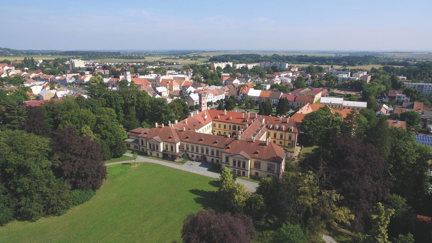
Výhled na zámek Heřmanův Městec [ Scenic view point ]
NEXT LINKS
- [ Trip ] Výprava do zámeckého parku a ke koním bod 1 [gps]
LOCATION
- WGS-84: 49.944395456N, 15.66738367E
- Cadastral territory: Heřmanův Městec
- Village or Town/City: Heřmanův Městec
- District of Administration 2: Heřmanův Městec
- District of Administration 3: Chrudim
- Region NUTS 4: Okres Chrudim
- Region NUTS 3: Pardubický kraj
- Region NUTS 2: Severovýchod
- Tourist region: 28 Chrudimsko - Hlinecko
- Destination: Východní Čechy
Type: Scenic view point
LAST MODIFY: správce systému (Mikroregion Podhůří Železných hor) org. 127, 05.07.2022 v 10:20 hodin
LAG (Local Action Group) Region of Iron Mountains